Free aerial property maps are helping members of Southern Queensland Landscapes to maximise productivity by enhancing planning and development on their land.
The high-resolution property maps are provided free of charge to members of SQ Landscapes and provide a birds-eye view of their property using satellite imagery to produce a digital map.
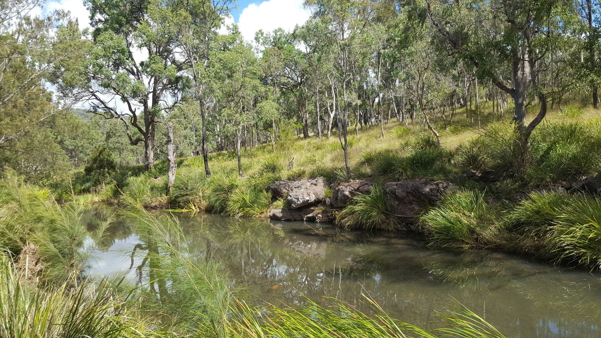
Muckadilla regenerative grazier Meredith Barrett said her property map has helped in understanding the bigger picture in planning for future developments on her grazing land.
“If you can't visualise your whole place, it's to your disadvantage,” Meredith Barrett said.
HOW TO REQUEST A MAP
- Apply to become a member of Southern Queensland Landscapes (https://www.sqlandscapes.org.au/become-a-member)
- Once your membership request has been approved, fill out a property map request form via the website with your member number (https://www.sqlandscapes.org.au/existing-members)
- A map will be created for you and sent as a printable digital file
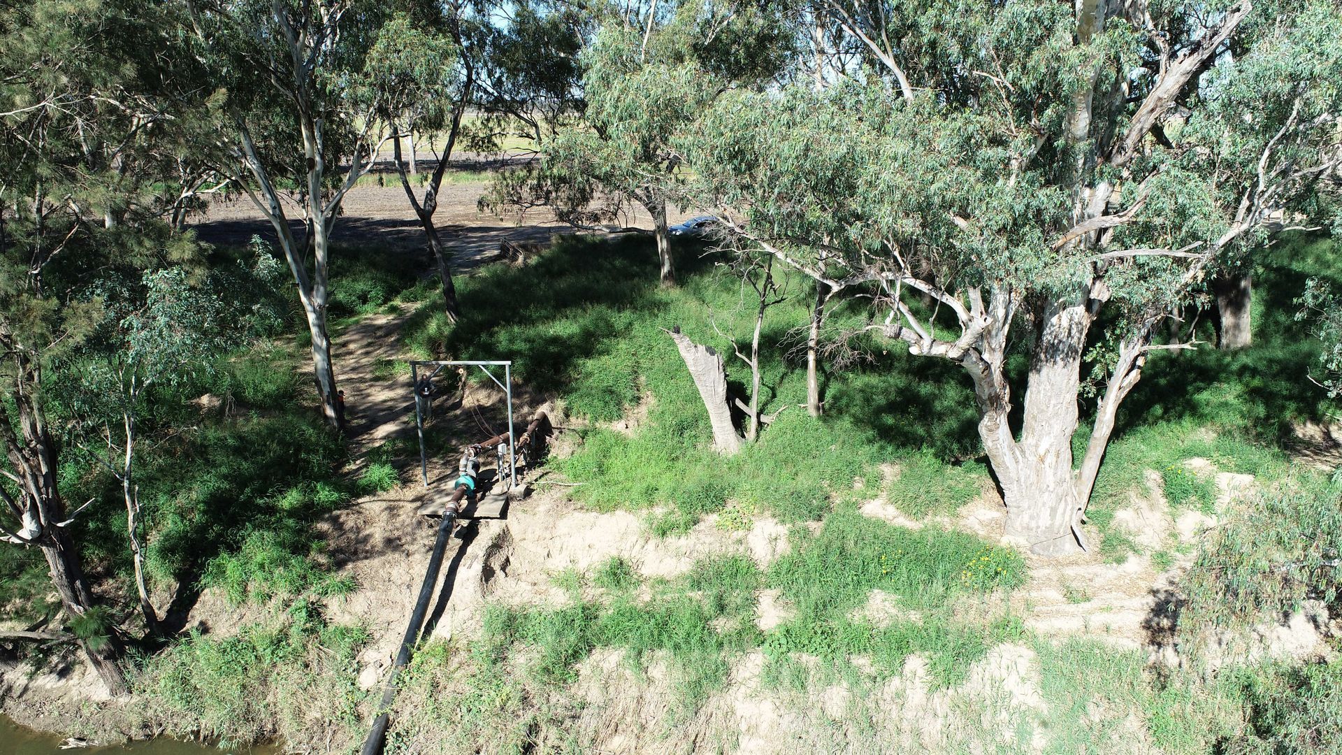
Ms Barrett said she plans to print the A0 sized map (84.1 cm x 1.2 m) and draw in her paddocks, pipelines, troughs and dams.
“It's handy for planning and development when you can get the overall view of the place. You can look at the big picture and then break it down into easier to manage areas,” Ms Barrett said.
“It’s great for planning infrastructure and understanding your land types. Like when to rest pastures to maximise growth and making plans to manage your flood country, stock movements and grazing management,” she said.
Ms Barrett said planning has always been vital to success on her land.
“We’re really looking to improve our landscapes and get our carbon cycle working better,” she said.
“We also use the map to communicate with contractors, employees and others entering the farm. You can point things out on the map so you're on the same page about work on the land.”
SQ Landscapes’ mapping team leader Principal Project Officer Alun Hoggett said the mapping technology brings together many layers of data to see patterns in the landscape and track how improvements are changing the land.
“The member maps are an aerial satellite image with property boundaries, and can be really detailed. It’s like taking a bird’s eye view of your property,” Alun Hoggett said.
“Land managers can draw on paddocks, make notes, and use the map as a planning tool to give a basis for planning stock movements, new fences, new sheds and infrastructure,” Mr Hoggett said.
“People also use it for weed control and monitoring, you can mark out where infestations are and where control methods have taken place,” he said.
Mr Hoggett said the maps have a high satisfaction rate among members.
“It was quite exciting to hear how our members are using the maps on their land. People have been incredibly positive about how useful the maps have been. It’s great to hear that we’ve really hit the nail on the head,” he said.
Current members interested in requesting a property map are encouraged to fill out the form on this website:
https://www.sqlandscapes.org.au/existing-members.